M18A1
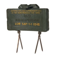
M86
Mini-Hailstorm
MON-50
OZM-72
PFM-1
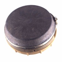
PMN
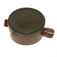
PMN-2
PMN-4
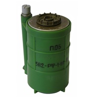
POB-Pilka
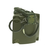
POM-2
POMZ-2M
S-Mine-35
TS-50
AT-2
HPD-2
M6
MI-AC-AH-F1
PARM
PK-14
PTKM-1R
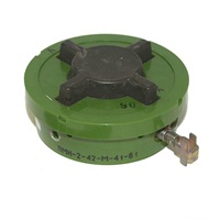
PTM-1S
TM-46
TM-57
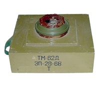
TM-62D
TM-62M
TM-83
TMRP-6