Archaeology
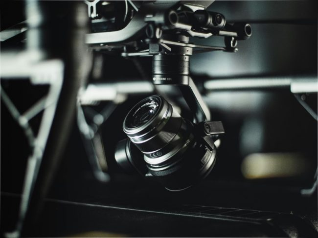
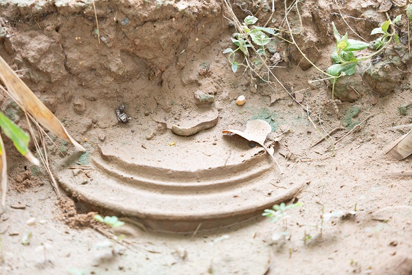
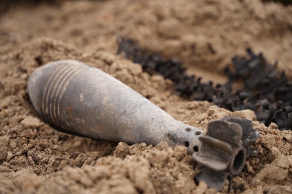
Our drone-based detection system can help locate and analyze buried historical artifacts, structures, and sites, supporting archaeological research and preservation initiatives.
Locate Buried Artifacts: Safely identify potential sites without extensive excavation.
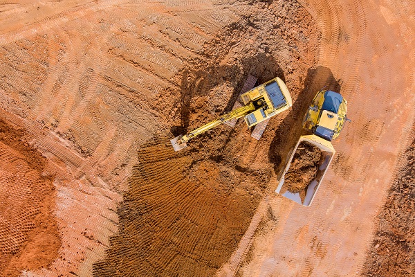
Protect Cultural Heritage: Guide exploration and preservation with minimal disturbance to historical areas.